CONSTRUCTION AND ARCHITECTUREDownload FlyerContact USConstruction (AEC) professionalsProfessional Survey-grade accuracy
and precision mapping solutions
SOLAR FARM INSPECTIONSDownload FlyerContact USSolar farm performance, efficiency and within budget!Advanced multi-sensor drone technology maximizing
Wind Turbine InspectionDownload FlyerContact USOur cutting-edge UAV technology captures
comprehensive data from all turbine
components, ensuring compliance with industry
standards and extending asset life.
Real Estate and InsuranceDownload FlyerContact USEmpower real estate and insurance professionals
with precise, actionable data. Our UAV technology
captures comprehensive visuals and analytics,
eliminating the need for costly manual inspections
or scaffolding.
Cell Tower InspectionDownload FlyerContact USComprehensive drone-based inspection and analysis
for cellular and broadcast towers, enhancing network
uptime, safety, and compliance while significantly
reducing maintenance costs.
Bridges & InfrastructureDownload FlyerContact USCutting-edge drone inspection services for bridges
and critical infrastructure, providing safe,
accurate, and cost-effective assessments.
Agricultural Drone ServicesDownload FlyerContact USDesigned to increase crop profitability through
precision imaging and data-driven management.
Specialty SectorsDownload FlyerContact USAdvanced Drone Solutions for Archaeology,
Education, Environmental Services,
Manufacturing, Legal, Stadiums, and Events.
Roof and Building InspectionDownload FlyerContact USSpecialized in cutting-edge drone inspection
services for commercial and residential properties

YOUR TRUSTED AERIAL PARTNER

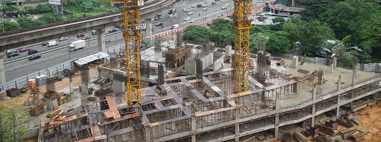
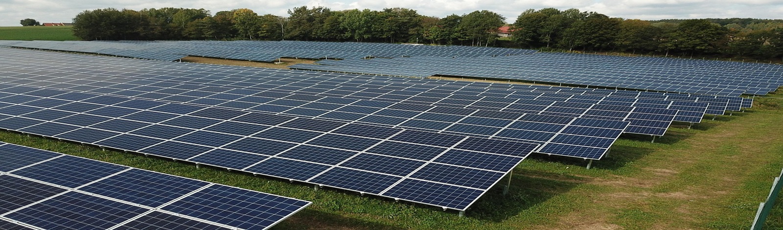
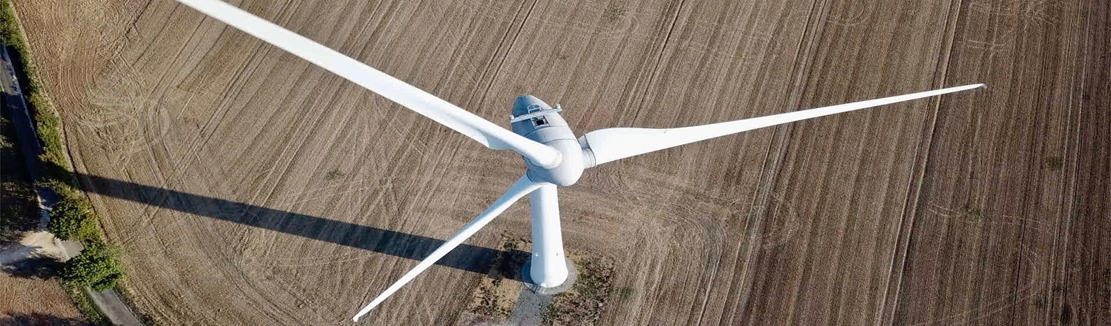
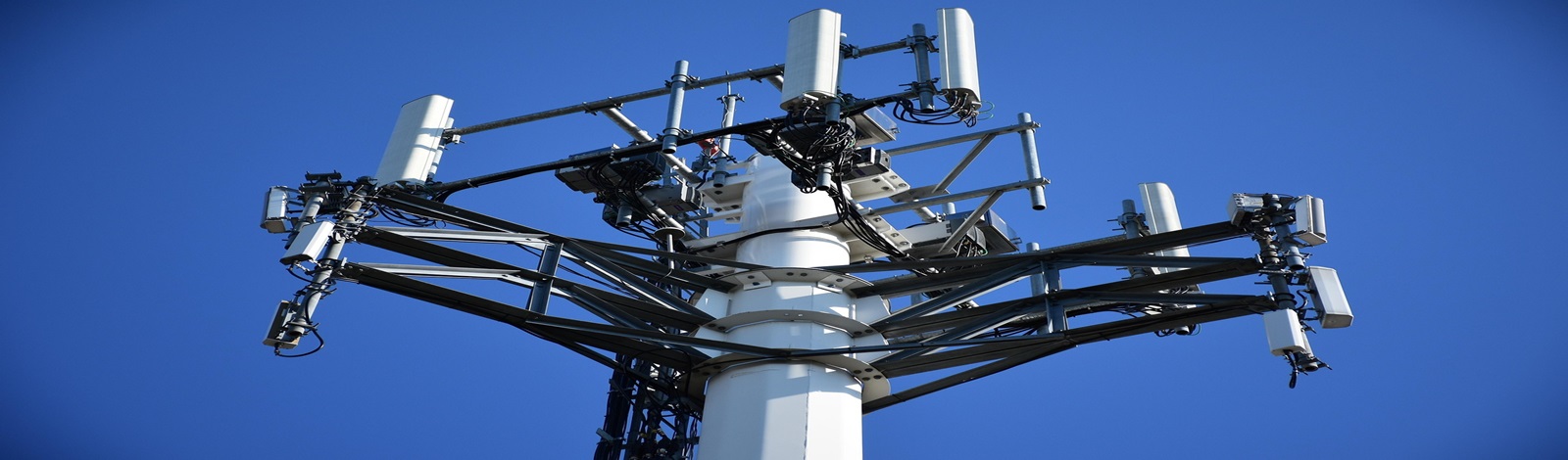
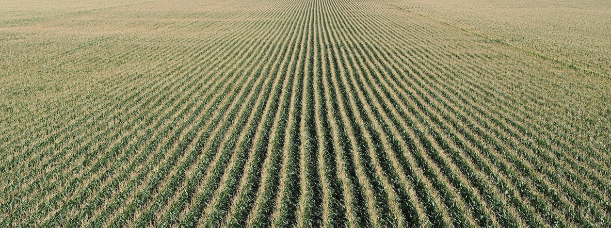
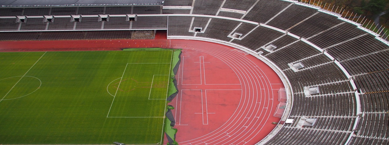
VectraFly is Atlanta’s premier provider of precision drone imagery, mapping, and inspection services. Our team of FAA-certified Remote Pilots and engineers delivers advanced aerial solutions across multiple industries — including agriculture, infrastructure, construction, energy, real estate, and insurance, as well as specialty sectors such as archaeology, environmental monitoring, and manufacturing. Based in Atlanta, we merge technology with engineering expertise to deliver precise, efficient, and reliable inspection and mapping tailored to your project’s goals.

WE SURVEY ALL SECTORS

Who We Are

VectraFly is a North American aerial imaging and surveying company founded by engineers, PhDs, and computer scientists who believe data should drive results. We transform aerial intelligence into actionable insight — bridging the gap between field operations and strategic decision-making. Each flight is guided by scientific rigor, engineering precision, and a steadfast commitment to client success.

  • Team of engineers with more than 50 years of combined experience


  • All pilots FAA Part 107 certified


  • Nationwide service · Atlanta headquarters


  • Fully insured ($1–10 million coverage)


Welcome! This is your dedicated Team. Get in touch and Book, your first Job which is 100% discounted!

Schedule Your Free Consultation